The shortest way looks wrong
On a Mercator chart the shortest route is a curve and the wrong one is a straight line. Why navigators used both, and how they combined them.
Two lines answering two questions
A great circle is “the intersection of the surface of a sphere and a plane passing through the center of the sphere… the largest circle that can be drawn on the surface of the sphere, and the shortest distance along the surface between any two points.” That is Bowditch, the American Practical Navigator, which has been the working reference on this since 1802 and is still published by the National Geospatial-Intelligence Agency.
A rhumb line — a loxodrome — is a different animal: the path that crosses every meridian at the same angle. Bowditch again: “The principal advantage of a rhumb line is that it maintains constant true direction. A ship following the rhumb line between two places does not change its true course.”
Put those two sentences next to each other and the whole problem is visible. One line is short. The other is steerable. They are not the same line, and for four centuries you could realistically only steer one of them.
The curve was first worked out mathematically by Pedro Nunes in 1537, prompted by questions a navigator put to him after a voyage from the coast of Brazil: the plane chart kept failing at sea because it took no account of the convergence of the meridians. Nunes elaborated the work in Latin in 1546. The word loxodrome is not his — it was coined by Willebrord Snell in 1624.
Mercator built the distortion on purpose
The Mercator projection is usually introduced as the map that makes Greenland too big. True, and beside the point. NOAA’s Office of Coast Survey states the reason it is used: “Most nautical charts use the Mercator projection, because any straight line drawn on a Mercator chart is also a line of constant course, also called a rhumb line or loxodrome.”
Mercator presented it in 1569, and the title of the map itself says what it was for: Nova et Aucta Orbis Terrae Descriptio ad Usum Navigantium Emendate Accommodata — a new and fuller description of the earth, properly adapted for the use of navigators.
So the area distortion is not a defect in the projection. It is the price, paid deliberately, so that a navigator could lay a straight edge between two points, read one angle off it, and hold that angle for three thousand miles. The map was designed around the limitations of the instrument doing the steering.
What the easy line costs
Bowditch explains why the shorter route looks like the longer one: “The rhumb line appears the more direct route on a Mercator chart because of chart distortion. The great circle crosses meridians at higher latitudes, where the distance between them is less. This is why the great circle route is shorter than the rhumb line.”
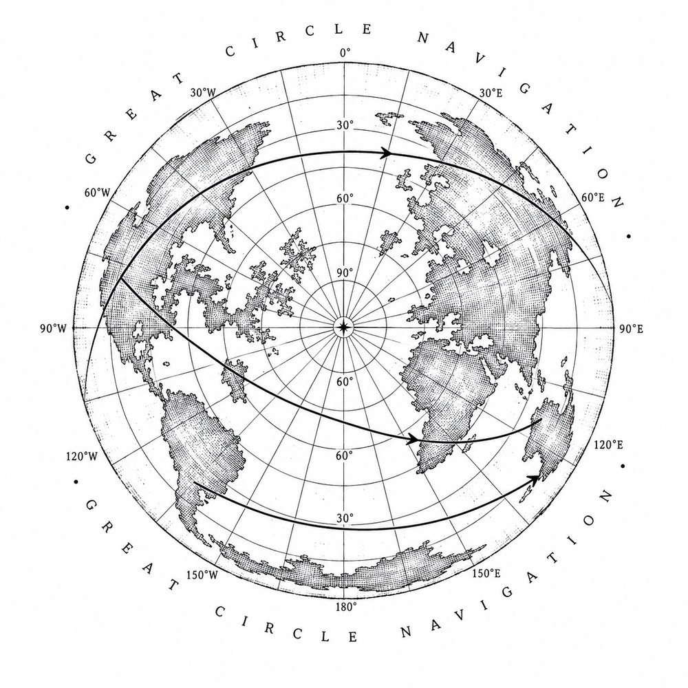
The cost shows up most clearly on a long east–west run away from the equator. Bowditch works an example between 32°S 116°E and 30°S 31°E — southwest Australia across to southeast Africa — and gives the great-circle distance as 4,248 nautical miles, starting on a course of 246.0°.
Sail those same two positions as a rhumb line instead and you hold one bearing of about 271.6° for roughly 4,373 nautical miles. That second number is not Bowditch’s: we computed it from his coordinates on a spherical earth, and it is stated here so it can be checked rather than taken. The difference is about 125 nautical miles — the better part of a day — spent entirely on the convenience of never changing course.
The penalty is not a constant. On a transpacific example in the same chapter, 38°N 122°W to 24°S 151°E, Bowditch’s great-circle distance is 6,137 miles and the rhumb line runs only about 26 miles longer — four tenths of one per cent. Routes that run mostly north to south, or that sit near the equator, barely charge you anything. Routes that run east to west in high latitudes charge a great deal. It is a question about where you are, not a rule to memorise.
How it was actually sailed
A great circle that is not a meridian or the equator is, in Bowditch’s phrase, “a curved line whose true direction changes continually,” and therefore “the navigator does not attempt to follow it exactly.”
What he does instead: “He selects a number of waypoints along the great circle, constructs rhumb lines between the waypoints, and steers along these rhumb lines.” The great circle is the plan. Rhumb lines are what the helmsman is actually handed.
The plotting depended on a second projection. On a gnomonic chart any straight line is a great circle, so the route was drawn there with a straight edge, points were lifted off it every five degrees of longitude, transferred onto the Mercator chart, and joined with rhumb lines. Two projections, each used for the single thing it is good at, and neither asked to do the other’s job.
Shortest is not the same as best
The shortest route is frequently not the chosen one, and Bowditch is blunt about why: “the great circle route cannot cross land, nor should it carry the vessel into dangerous waters.”
Because a great circle bends toward the pole, the shortest path across an ocean will cheerfully carry a ship into ice and heavy weather. The standard answer is composite sailing — “a modification of great circle sailing to limit the maximum latitude, generally to avoid ice or severe weather near the poles.” The track becomes a great circle running up to a chosen limiting parallel, a leg along that parallel, and a great circle down to the destination.
And in the weather-routing chapter the objective is defined as “maximum safety and crew comfort, minimum fuel consumption, minimum time underway, or any desired combination” — a list in which shortest distance does not appear at all. Bowditch even records specific standing preferences: for westbound passages between the Canal Zone and southwest Pacific ports, it has proven beneficial to remain equatorward of roughly 22°N.
Which leaves the plate honest about its subject. The curve is the shortest way between two points on the earth. It is not automatically the right one — and knowing the difference is most of what navigation is.
Sources
- Bowditch, American Practical Navigator, Ch. 24 “The Sailings”
- Bowditch, American Practical Navigator, Ch. 37 “Weather Routing”
- American Practical Navigator, official edition — National Geospatial-Intelligence Agency
- Nautical Cartography — NOAA Office of Coast Survey
- Mercator’s world map of 1569 — Bibliothèque nationale de France, Gallica
- Randles (1997), “Pedro Nunes’ Discovery of the Loxodromic Curve” — The Journal of Navigation
- Earliest Known Uses of Some of the Words of Mathematics — MacTutor, University of St Andrews
The plate
Great Circle
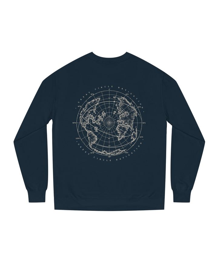
A polar projection with three shortest paths drawn across it. On a sphere, the straight line is a curve.
See the plate — $88